

The Middle Prong of the Little Pigeon River lies in the Northwest section of the Great Smoky Mountains National Park and is in Greenbrier Cove which is bounded by Mount LeConte and Mount Guyot. The Middle Prong of the Little Pigeon River is ofter referred to as The Greenbrier (Often spelled Greenbriar) because of the prickley annoying little bushes by that name. The Middle Prong of the Little Pigeon River flows to meet the better known West Prong at Sevierville and continues to flow northward, along State Route 66, until its confluence with the French Broad River near the Douglas Dam.
Southern Appalachian Brook Trout from Marcus Leach on Vimeo.
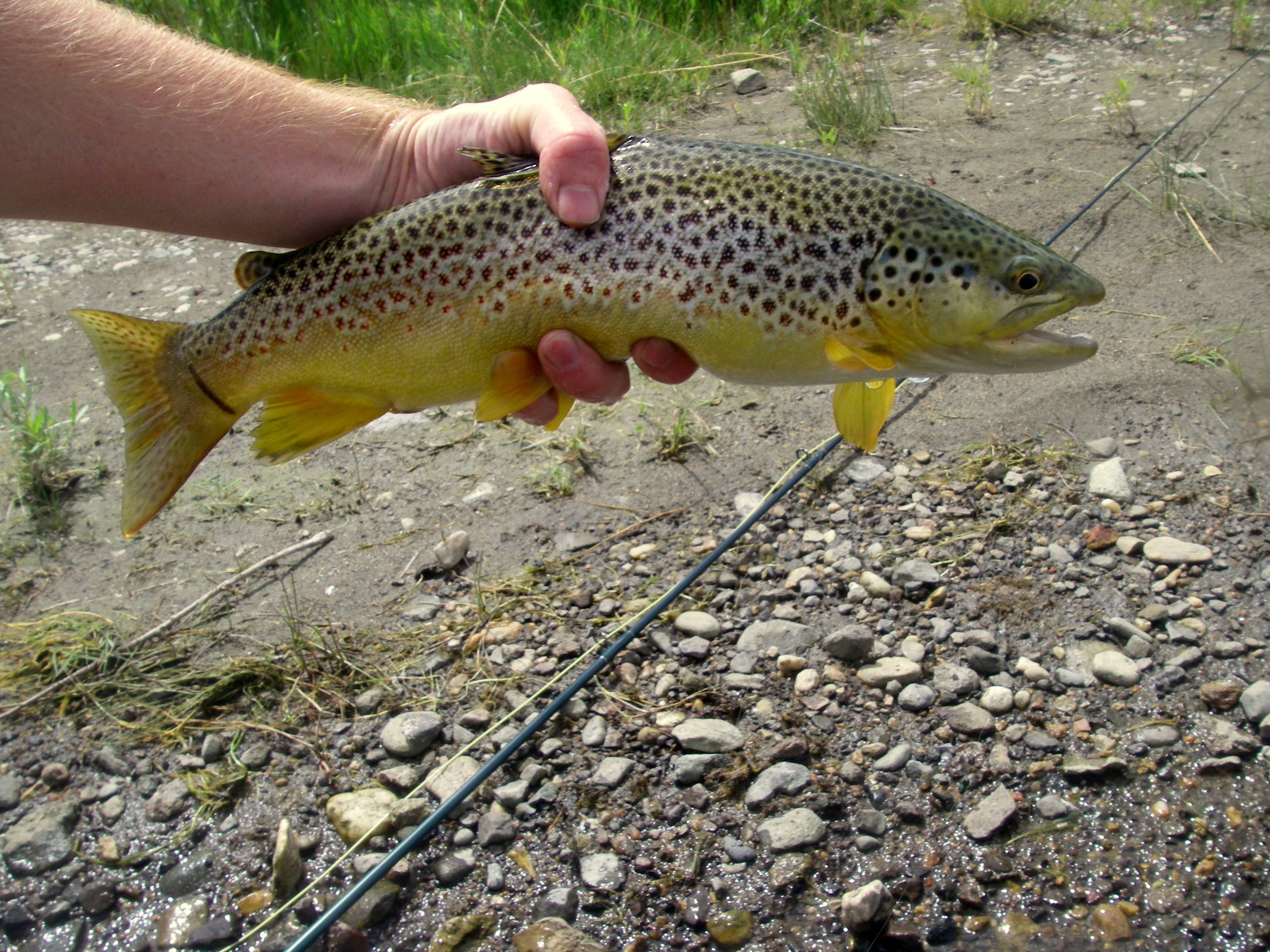
All three species of trout exist in the Greenbrier with a small population of browns in the lower reaches giving way to mixed browns and rainbows at higher elevations; and with bookies locally known as “specks”) being more prevalent in the headwater streams. The Greenbrier and this area of the GSMNP is better known for its scenery than it is for good trout fishing. However, there have been some nice “bows” taken from the Greenbrier.
Spring:
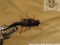
Spring is by far the best time to fish the Greenbrier because there is a good population of stoneflies followed by hatches of little gray mayflies in the April time frame.
Summer:
Summer is not a good time of the year for fishing the lower portions of the Greenbrier because the water becomes a little too warm. However, summer is an ideal time for fishing the upper section and the headwaters for brook trout where terrestrials are effective.
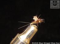
Fall is an excellent time to fish the entire stream using small mayfly imitations and terrestrials such as ants and grasshoppers.
It is possible to catch tout in the lower portions of the stream even in the winter months, especially on warmer days. It may be a good idea to try dry flies at that time.
NOTE: If you have any suggestions to improve or to add to this information please use the Contact Form to do so.
From I 40, take the exit for The Foothills Parkway, and continue to Cosby, then take a left. After going a couple of miles, turn right onto Highway 321 and proceed to within 6 miles of Gatlinburg where the Greenbrier crosses Highway 321. then turn left onto Greenbrier Road, you may or may not see a sign indicating the Greenbrier.
From Gatlinburg, take Highway 321 East toward Cosby Tennessee for about six miles. Watch for a sign indicating Greenbrier Road to the right and turn right onto Greenbrier Road. Note: If you have crossed over Greenbrier River on Highway 321, you have gone too far.
Greenbrier Road is paved for one mile and then proceeds another two and one half miles as a gravel road, providing access to the stream with several pull over parking areas. The Ramsay Cascades Trail will provide access for another approximately 2 miles to the confluence of Ramsay Prong.
Recommended DVDs:
Fly Fish Fishing the Great Smoky Mountains Park
Trout and Their Habitat
Fly Fishing for Small Stream Brown Trout
Shop our TroutU Store for the “Perfect Fly” line of flies.
Also see Trout University for free classes, Fly fishing Instructional DVDs and much more.
Other Info: National Weather Service
Recommended Reading: The best book about the GSMNP. Fly Fishing in the Great Smoky Mountains National Park: An Insider’s Guide to a Pursuit of Passion. by Jim Casada.
View Great Smoky Mountains National Park Fly Fishing Guide in a larger map