
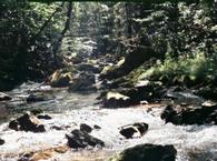
Upper Deep Creek is a stream that starts in the mountains on the NC side of the Great Smoky Mountains National Park near the Newfound Gap and runs about 15 miles until it flows into the Tuckasegee River at Bryson City. The Deep Creek Trail follows the creek from the Newfound Gap Road (Rt 441) to the Deep Creek Campground in the GSMNP.
Fly fishing is great and very rewarding for the entire length of Deep Creek. Approximately 90% of the stream lies within the GSMNP and is regulated for single hook artificial lures only. Below the park, for exactly two miles, the creek is hatchery supported so it can be fished with live bait through. There are a few pulloffs and parking areas in this section of the stream for use by anglers. The preferred live bait is the Hellgrammites. A North Carolina fishing license will be required and of course, it is advisable to read the NC Fishing Regulations before fishing in Deep Creek.
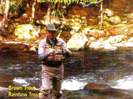
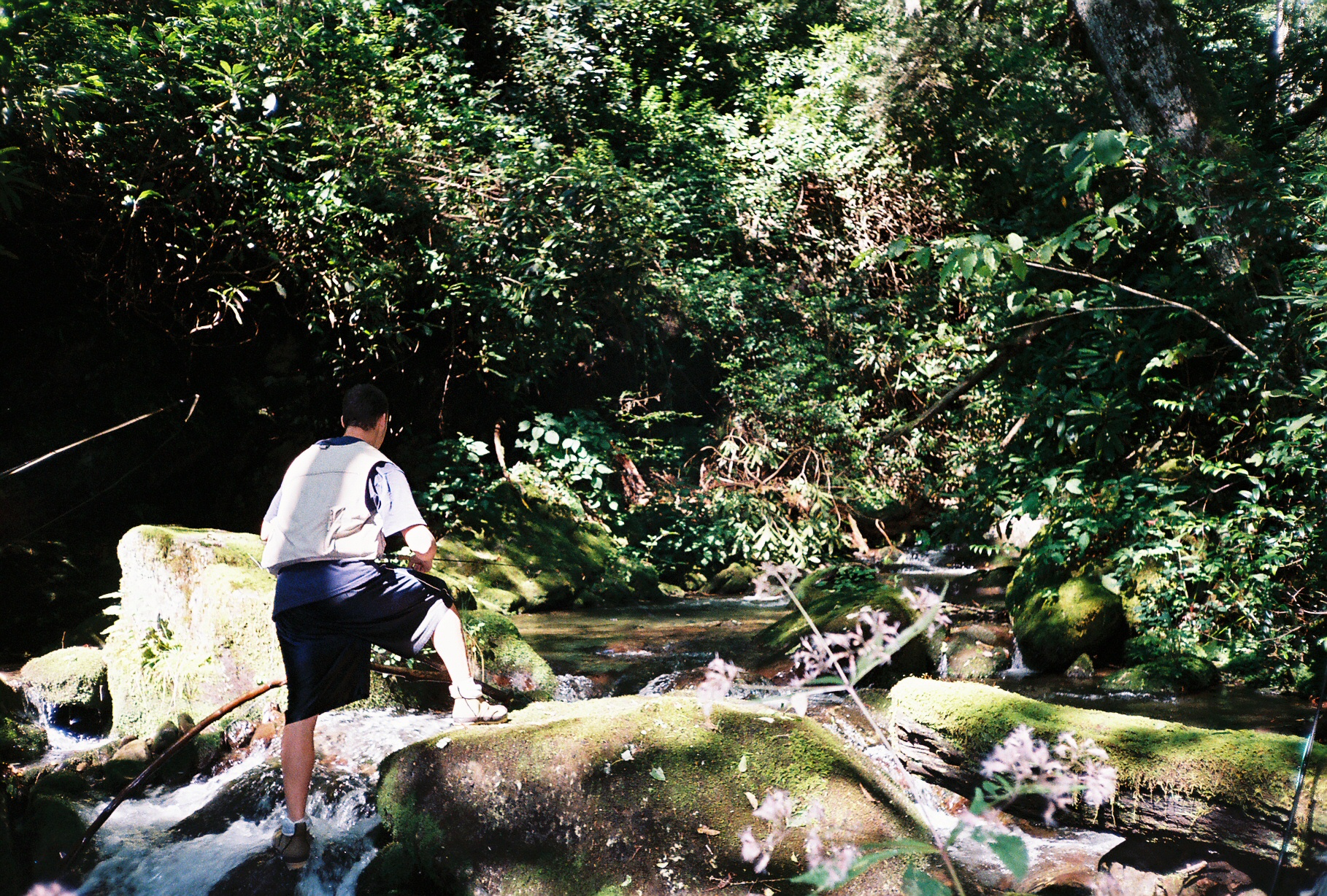
The upper elevations of Deep Creek are somewhat steep and can be most easily approached form the Deep Creek Trailhead on Newfound Gap Road. The upper reaches of Right Fork (the one served by the trail) as well as Sahlee Creek and Rock Creek are populated almost exclusively with the pretty and feisty brook trout. These brookies, often called "specs" by the local anglers, usually run between 5 and 9 inches with an occasional 10 to 12 inch specimen. However, as you progress down the stream, more of the brown trout and rainbow trout can be found.
The lower portion of Deep Creek can be accessed from the Deep Creek Campground GSMNP. The traffic on this section ican be heavy. Tubing is the favorite sport in the summer months and is allowed up to the confluence of the Indian Creek. It will be necessary to hike approximately ½ miles up the creek to the confluence of Indian Creek to get away from the tubers in the warm months. Note that just a couple of hundred feet up Indian creek from its confluence with Deep Creek is a nice pool to fish (at least when there aren't any tubers, swimmers, etc.) at the base of Indian Creek Falls. Browns and rainbow trout populate this section with the average size being 8 to 12 inches. However, the opportunity to catch trout as large as 16 to 18 inches does exist, but trout of that size are challenging to say the least.
Seasons:
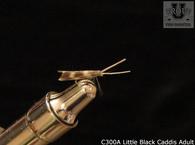
Spring: This is indeed the best time to fish the Deep Creek with Quill Gordon, Blue Quill and Litle Black Caddis hatches occuring. Of course Brown Sculpin is a good choice as well.
Summer: The fly fishing in the summer months is excellent with Blue Winged Olives, Litle Yellow Stoneflies and Cinnamon Caddis hatches occuring. Of course, the terrestrials such as Black Ants, Hoppers and Beetles remain productive as well.
Fall: The water begins to cool off and fishing improves markedly. Blue Winged Olives, Little Yellow Quills, and Giant Black Stoneflies are popular choices for this season as are Brown Sculpin and Yellow Marabou Sculpins.
Winter: The fly fishing remains good in the winter months especially during the more mild days. Around the middle or end of February, Blue Winged Olives start to hatch followed in March by the Blue Quill mayflies and the Little Black Caddis. Also, some large browns, who have let their guard down somewhat from the busier portions of the year, can be caught on large lures fished in the deep pools and by the good hiding spots under rocks.
NOTE: If you have any suggestions to improve or to add to this information please use the Contact Form to do so.
The Deep Creek trailhead (pictured above) can be found on the Newfound Gap Road (RT 441) about half way between Cherokee NC and Gatlinburg TN. Starting at the trailhead, the hike to Bryson City is approximately 13 miles with several campsites located along the way. The trail can be very steep and grueling at times.
To access the lower end of Deep Creek, travel through Bryson City to the GSNP and hike upstream. The first 1/2 mile can be heavily traveled by hikers and tubing enthusiasts.
Recommended DVDs:
Fly Fish Fishing the Great Smoky Mountains Park,
Stoneflies Imitating Aquatic Insects
Fly Fishing for Small Stream Brown Trout
Shop our TroutU Store for the “Perfect Fly” line of flies.
Also see Trout University for free classes, Fly fishing Instructional DVDs and much more.
Trail maps are availavle at the GSMNP Visitor Centers.
Recommended Reading: The best book about the GSMNP. Fly Fishing in the Great Smoky Mountains National Park: An Insider’s Guide to a Pursuit of Passion. by Jim Casada.
Tennessee License
North Carolina License
View Great Smoky Mountains National Park Fly Fishing Guide in a larger map